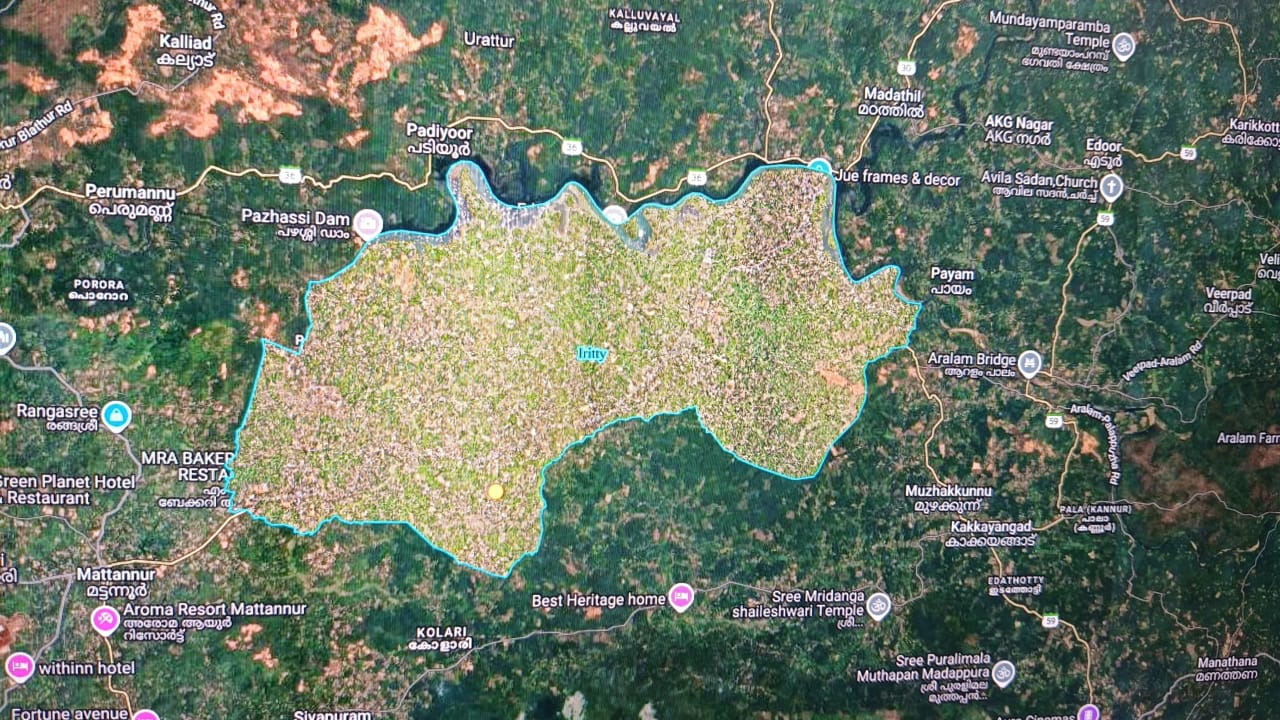
Iritty Municipality is situated in Iritty Taluk of Kannur District. Spread across the villages of Keezhur and Chavassery, Iritty Municipality has an area of 46.65 square kilometres. It shares its boundaries with Padiyoor and Payam Grama Panchayats to the north; Muzhakkunnu Grama Panchayat to the east; Thillankery and Maloor Grama Panchayats and Mattannur Municipality to the south; and Mattannur Municipality to the west.
The present-day Iritty Municipality was originally composed of two separate panchayats, Keezhur and Chavassery. However, they remained as two separate panchayats only for a short period. Later, they were merged to form Keezhur-Chavassery Panchayat, which was subsequently upgraded to Iritty Municipality in 2015.
Iritty Municipality is a lush green region characterized by a harmonious blend of hills, paddy fields, rivers, and streams. It is located in the eastern hilly region of Kannur District in North Kerala, on the southern side of the Iritty River, a tributary of the Valapattanam River. The Thalassery-Coorg Road, an inter-state highway connecting the states of Kerala and Karnataka, passes through the central part of the municipality. The Iritty River flows along its northern side.
All parts of the municipality are suitable for human habitation. The area consists of highland regions and their slopes, along with plains containing paddy fields. The major crops cultivated in the municipality include perennial crops such as coconut, cashew, black pepper, rubber, and arecanut; fruit trees such as mango and jackfruit; and seasonal crops such as rice, tapioca, plantain, banana, ginger, and turmeric.